Team The Bigger they are the harder they fall
Borealis
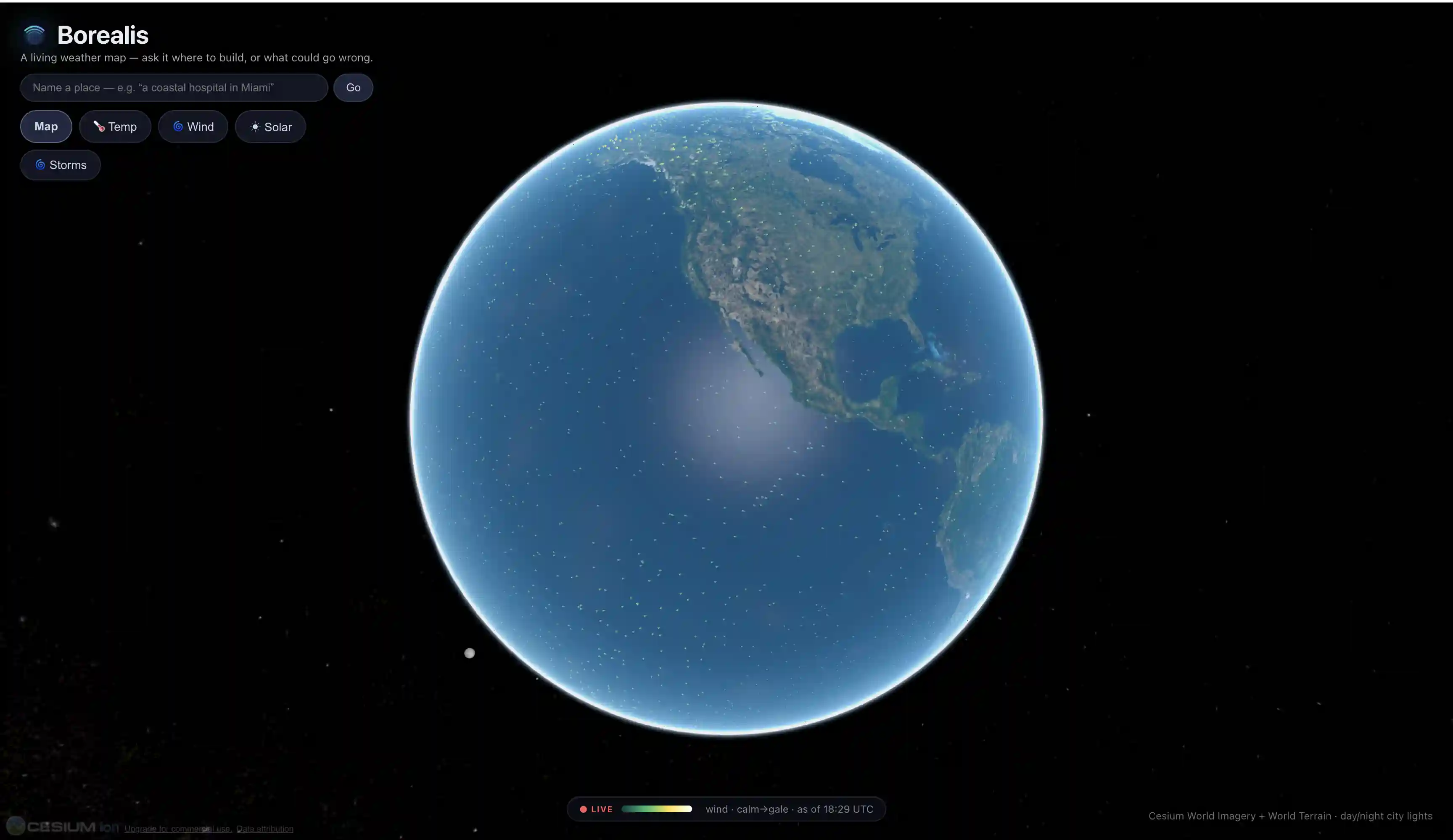
A living weather map for building risk analysis
Video Demo
About this project
Borealis is an interactive 3D globe (CesiumJS) where you drop a building anywhere just by typing plain English, then run grounded climate-hazard visualizations against it. You land on a vivid global weather field draped over a real imagery + terrain globe. Type something like "a coastal hospital in Miami" and a local Llama model parses your intent, the geocoder resolves the spot, RL fine-tunes the spot, and a detailed, type-matched 3D building appears clamped to the terrain with a cinematic fly-to. From there you can: Run a flood view: bathtub inundation over real Cesium World Terrain elevation. Run a tornado view: a particle funnel whose intensity and likelihood come from real NOAA SPC climatology (it honestly shows no funnel where risk is negligible). Toggle live storms: real, timestamped feeds: active NHC tropical cyclones, NWS tornado warning/watch polygons, and a live Open-Meteo wind-flow layer. Open a risk dossier: a side panel composing renewable-resource potential, hazard exposure, and a AI-synthesized Gemini insurance/summary briefing. Every lens runs the same pipeline: a SuitabilityModel that turns climatology into a domain score. Energy ships first (solar yield, wind power density); agriculture proves the extensibility, then pipelines show expected insurace and environmental hazards. Built with FastAPI + Python on the backend, Vite/React/TypeScript + CesiumJS on the front, a local MLX model (using DFlash) for language and briefings, and real data from NASA POWER, NOAA, NHC, NWS, and Open-Meteo.